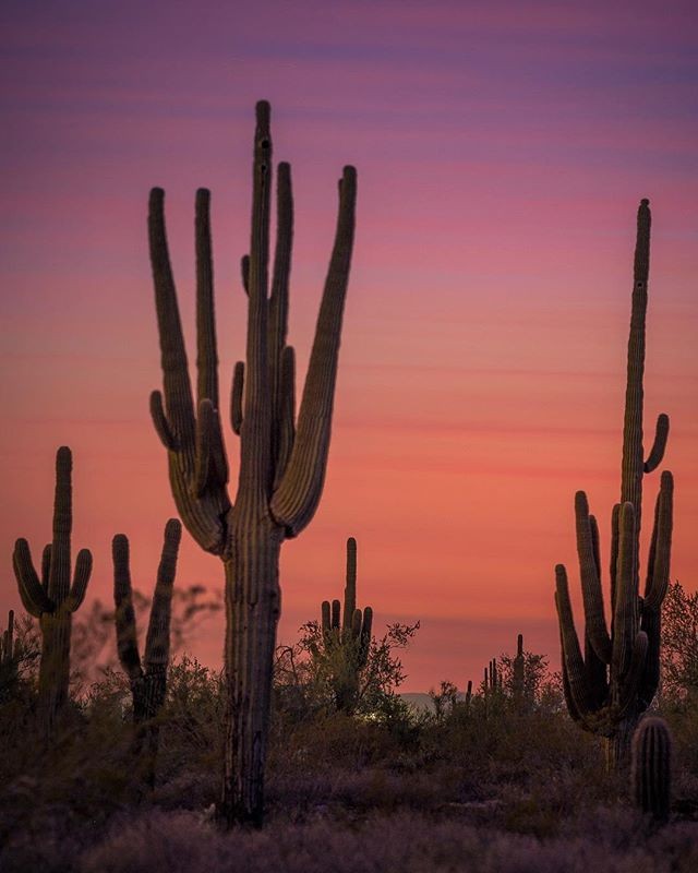
Hike | Inner Basin | Flagstaff

Trail Stats
- Length: 4 miles round trip
- Trailhead Elevation: 8,700 ft.
- Gain/Loss: +1,500 ft.
- Difficulty: Moderate
- Dog Friendly: Yes
Trail Description
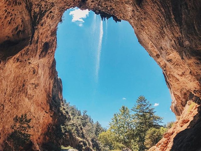
The Inner Basin Trail is really a gem of a hike located in the heart of the San Francisco Peaks. If you like strolling through aspen groves on well marked and photogenic trail than this is the hike for you!
The trail towards the inner basin of an extinct volcano begins at the picturesque Lockett Meadow. Surrounding the meadow are 8 campsites available for a fee ($14 as of 09/2015). The trailhead begins at the day use parking area which is towards the back of the loop around Lockett Meadow and is very well marked. From the trailhead you will see information signs and a place to register. Parking is free and dogs are welcome as long as they are leashed as this is a very popular hike in the high country.
As you continue on the trail you will come to large aspen groves which are both amazing to photograph and provide some nice shade for taking a quick rest. The trail will begin to climb gradually until you reach Waterline Trail rd. which is only accessible to the Forest Service. This is approximately at 1.5 miles. Follow this road to the right (again, well marked) until you reach the cabins and water stations.
It is here you will find a tap to a natural spring where you can fill up water bottles (there is a sign that states the water is unfiltered). This is also the connecting site for Bear Jaw and Abineau trails. Continue straight (well marked) on the road for another .3 miles until you reach a large valley (inner basin of the ancient volcano). This is a great place to picnic, explore, take photos, and enjoy the surrounding beauty. There is another set of cabins and water stations for Forest Service use. If you continue on the road you will connect with Weatherford Trail. When you have taken in the views, colors, and fresh mountain air return the same way you came.
COCONINO FOREST SERVICE REPORT
The San Francisco Peaks are actually the remains of an extinct volcano. Millions of years ago this great mountain was shattered by an explosion similar to the one that devastated Washington's Mt. Saint Helens in 1980. Inside the now quiet caldera a lush alpine environment has blurred evidence of that cataclysmic event.
The trail leading into the heart of the ancient volcano begins in beautiful Lockett Meadow. From this island of emerald, ringed with aspens and high peaks, the trail winds through a shady forest to join the Waterline Trail briefly before following a service road into the mountain's now quiet Inner Basin, connecting to the Weatherford Trail on the far side of the basin. Here, extensive stands of aspens cover the steep slopes of the old caldera, coloring them solid gold in early fall. In spring and summer, wildflowers add a sprinkling of blue, red and yellow. From the basin's rims, avalanche tracks streak down the talus slopes, and remnants of old lava flows bear witness to the mountain's cataclysmic heritage.
Snow may remain here even into summer. Cross-country skiers continue to ski as late as June in some years. Hiking is the most popular way of visiting this beautiful and unique environment. Hikers begin coming to the basin before the snows have completely melted from the trail.
Animals you may spot in this high country include porcupine and elk. Black bears have been known to stroll right through groups of picnickers without so much as a glance at their lunches. The hermit thrush sings his best here. The climb to this high mountain place, where spring comes late and fall arrives early, is moderate but steady, but the reward is worth every bit of the effort.
Notes:
- No mechanized or motorized vehicles, including bicycles, in Wilderness Area.
- No camping in the inner basin in order to protect the watershed.
- The inner basin is closed to dogs and livestock above the watershed cabin.
* Please remember to hike at your own risk. To learn more please refer to our Hiking Disclaimer.
Map to Trailhead
Directions:
From the Flagstaff area, take HWY 89 towards Page, AZ. About 12 miles from Flagstaff (between Mile marker 430 and 431) is the turn off, signed as 'Forest Access' and 'Schultz Pass road'. After 0.6 miles, you come to an intersection. Turn right here onto Lockett Meadow Road. (FR 552). This road is OK for passenger cars if you take it slowly. Take this road for about 4.4 miles (5.0 miles from HWY-89) to the trailhead at Lockett Meadow. Follow the one-way road through the camping area to the day use parking near the trailhead.
Support our wild places with a purchase!
Follow us on Instagram